Showing posts with label naracoorte. Show all posts

Tuesday, May 19, 2009

The Journey Home: FINAL LEG!!!

Wow! I'll bet y'all never thought you'd finish this trip on down to the Limestone Coast and back. And what a loooooonnnnnnng, strange trip it's been...

I really didn't plan to drag out the whole thing this long. I did plan on this many posts but I thought I'd be posting every day or every-other day. However, when you've got almost 3000 pictures to sift through, lot's of research to do, beer to brew, bread to bake, cheese to make... and a pool to clean... Well, I hope you understand how it just sorta got away from me.

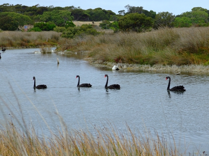
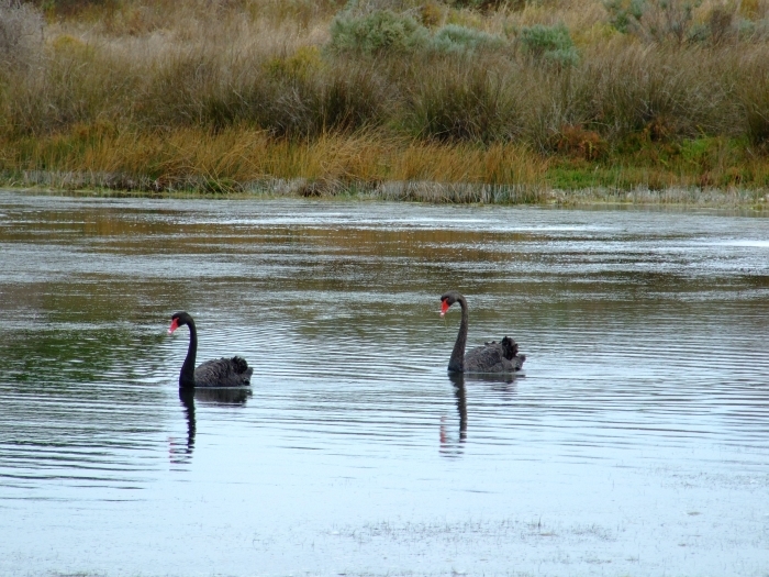
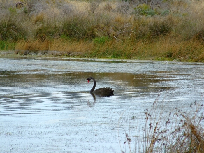
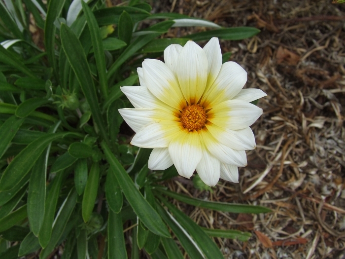
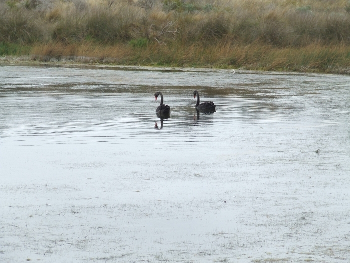
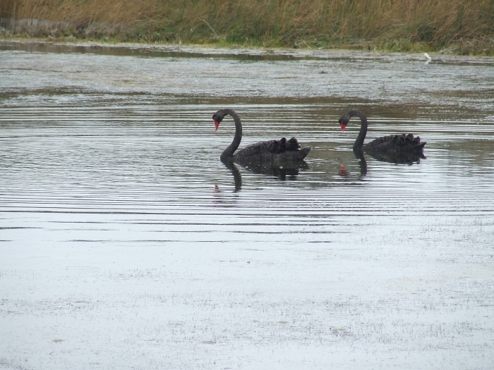
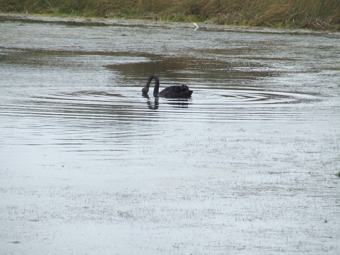
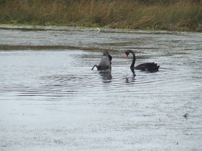
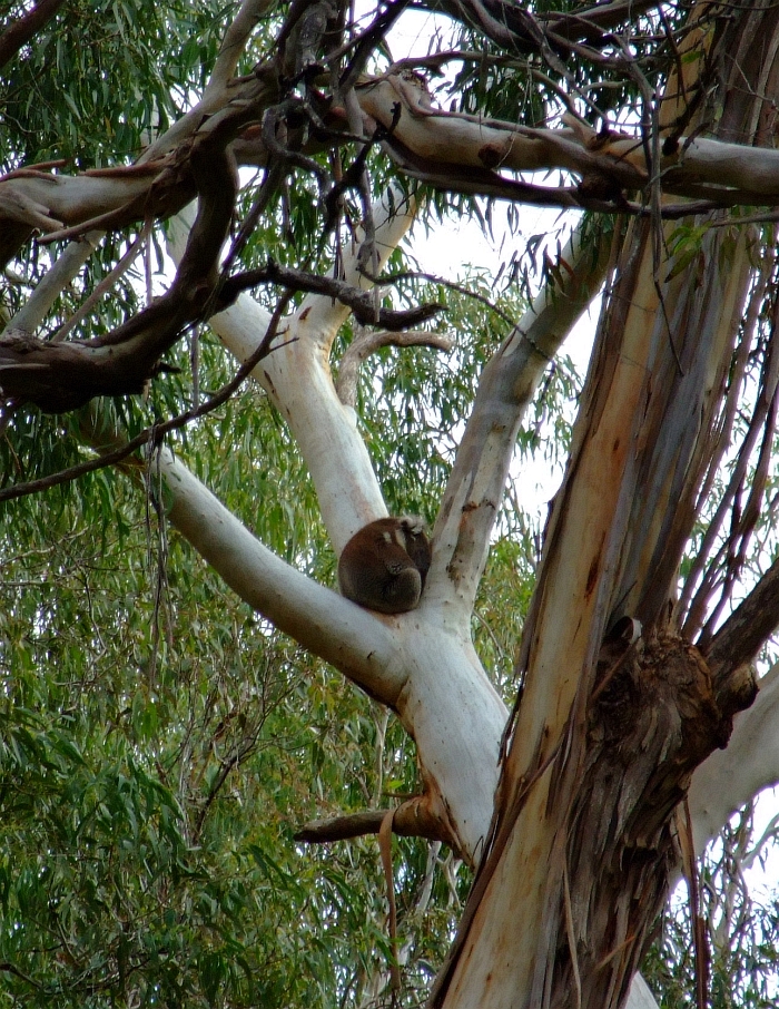
To make up for that (and to thank you for your neverending patience on this seemingly neverending story) I'm putting up 3 pics of local aussie wildlife before starting on the final leg of the journey.

This bloke was just too cute not to post:
cute koala

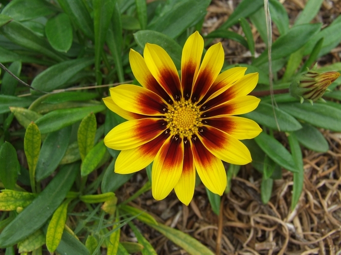
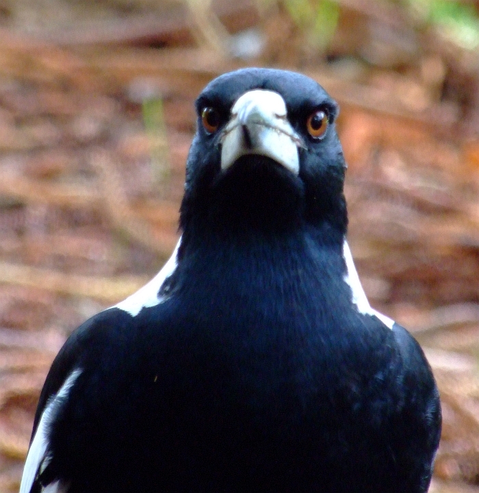
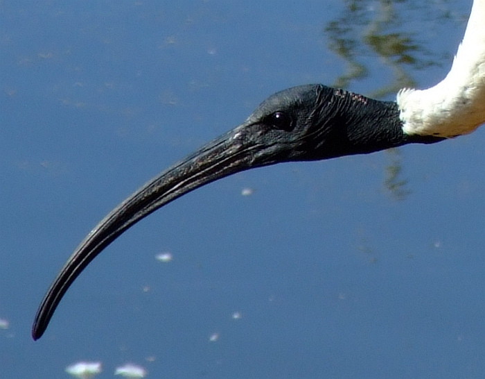
The next two pics are purposely posted to give Fishsticks nightmares
aussie magpie

upset bird 2


Ok, now for the final leg of the Naracoorte trip!

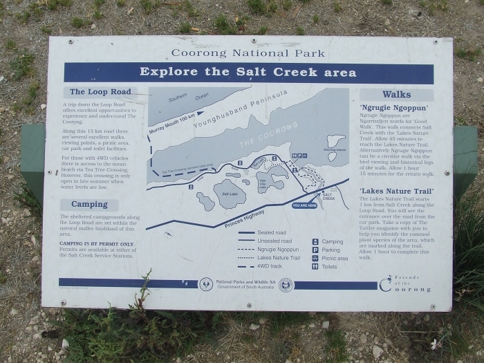
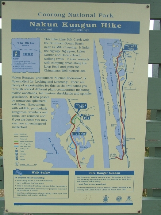
Let's start with a map:
meningie to sturt


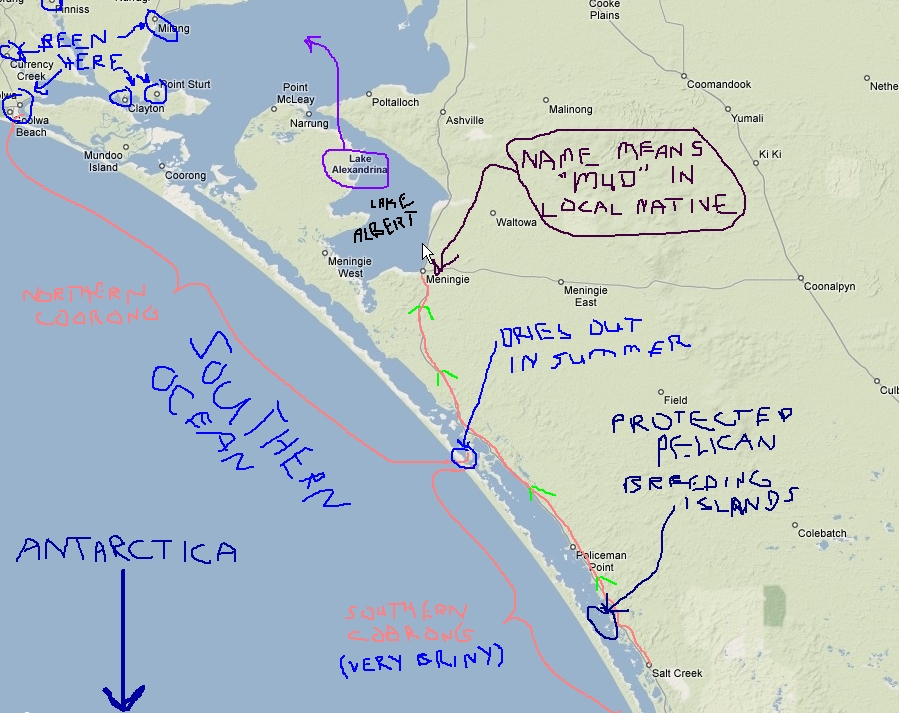
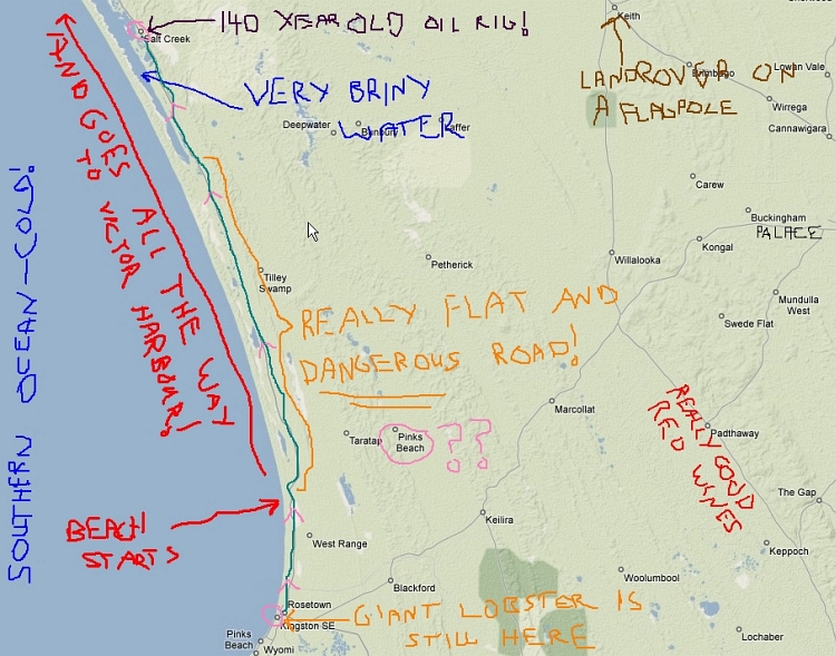
Well, as usual, that stale, generic, BORING, map won't do. Lemme see if I can fix it up a bit. Hang about while I break out my crayola crayon box...

Hmmmmm, where the hell did I put them?

Damn, someone straightened up my desk! Hate it when that happens; can't find a darned thing...

Aha! Here they are.

Give me a sec to do some scribbling...

.
.
.

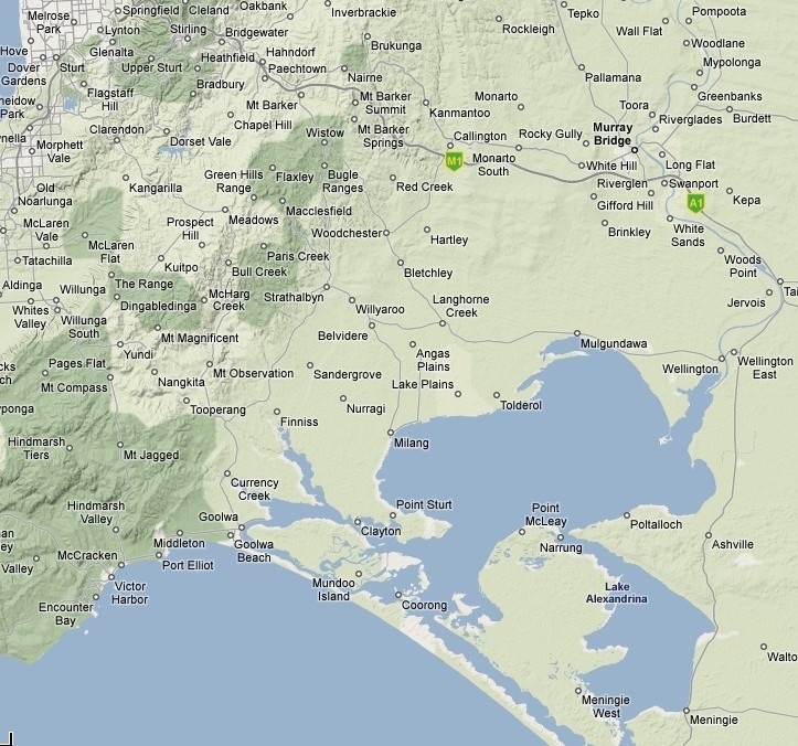
Tada! This looks much betta:
meningie to sturt painted


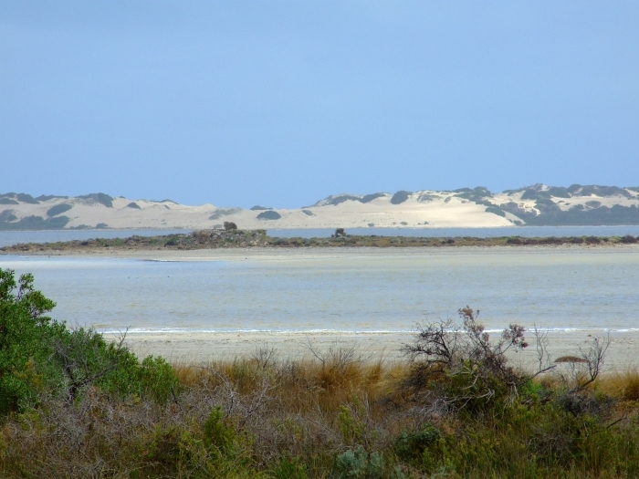
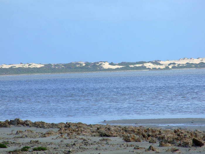
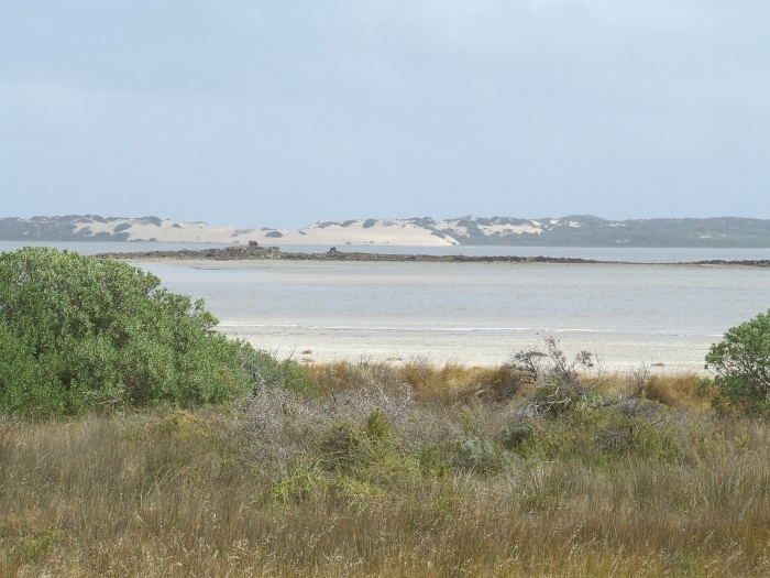
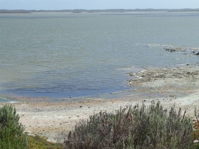
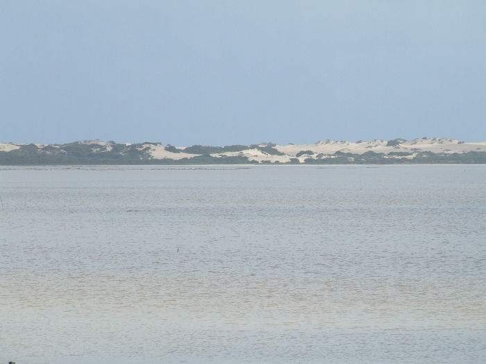
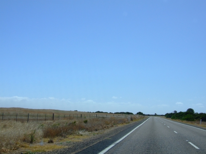
Notice that long boring stretch betwixt Meningie and Wellington? Guess what? There's no pictures from that part... flat, boring...really boring. So the first pic is when we arrived at the ferry crossing over The Mighty Murray at Wellington!

We just missed it...
finalleg028

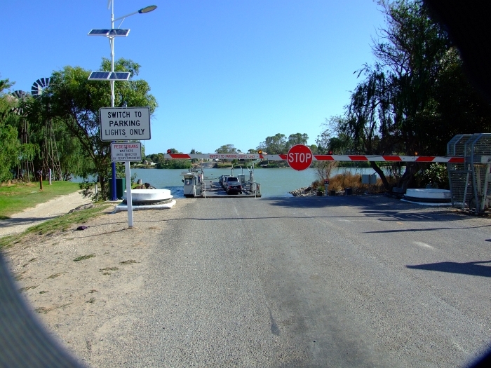
Poor little car, has to wait
finalleg036

Buh-bye!
finalleg004


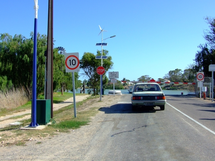
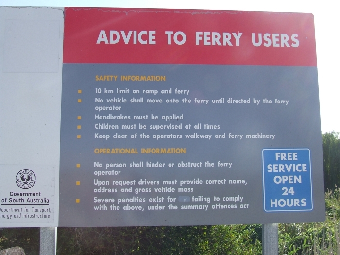
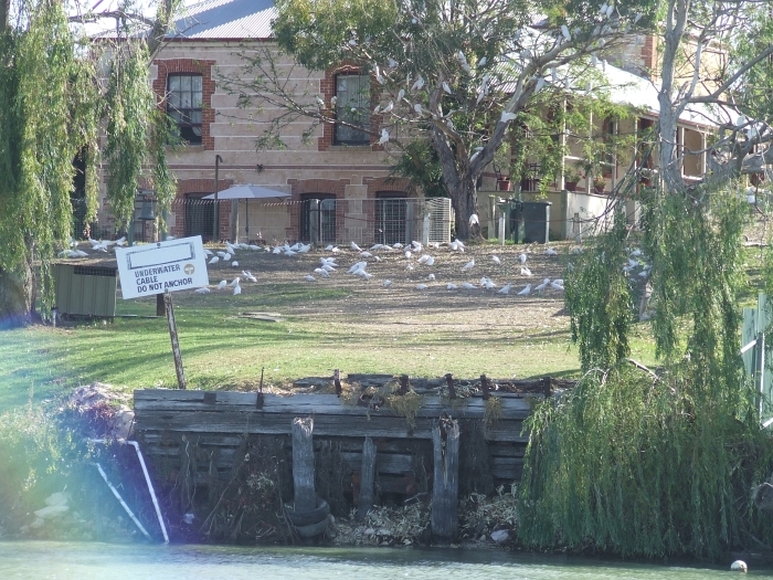
But that's ok, gives us a chance to look around. Hey cool! Lookie what supplies the power
finalleg001

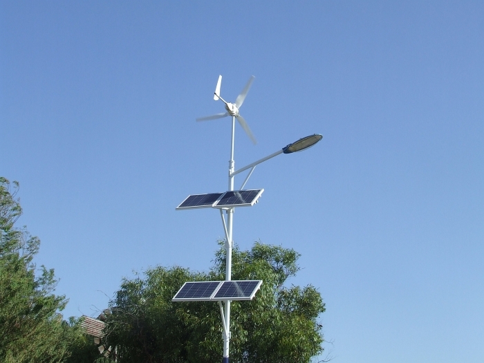
And it's free! 24 hours a day!
finalleg002

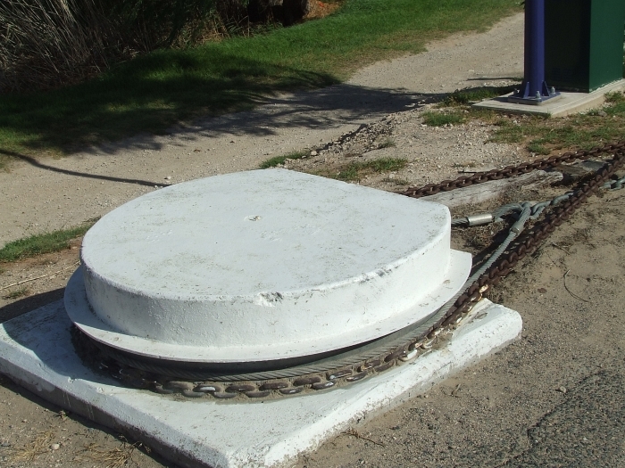
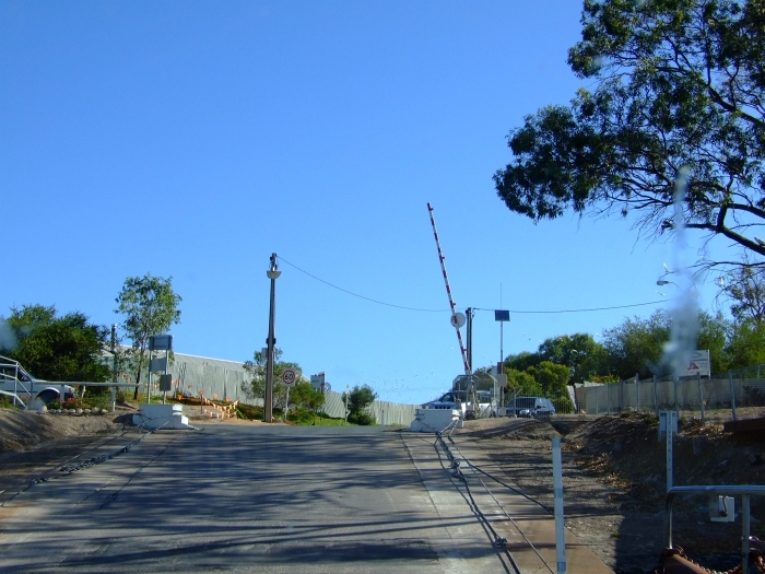
I'd say that the cables are pretty darned well secured.
finalleg006


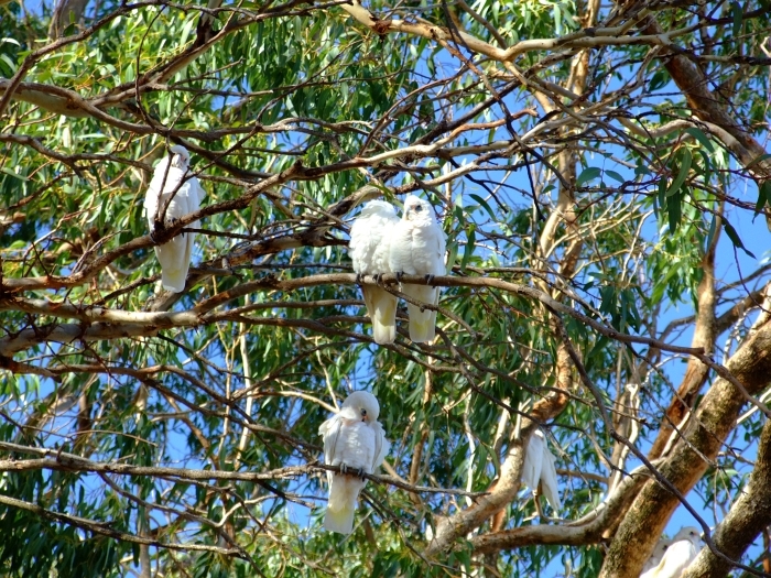
On our side of the river we could hear a rather large flock of parrots that were on the other side. This is the 5600 on full zoom.
finalleg007
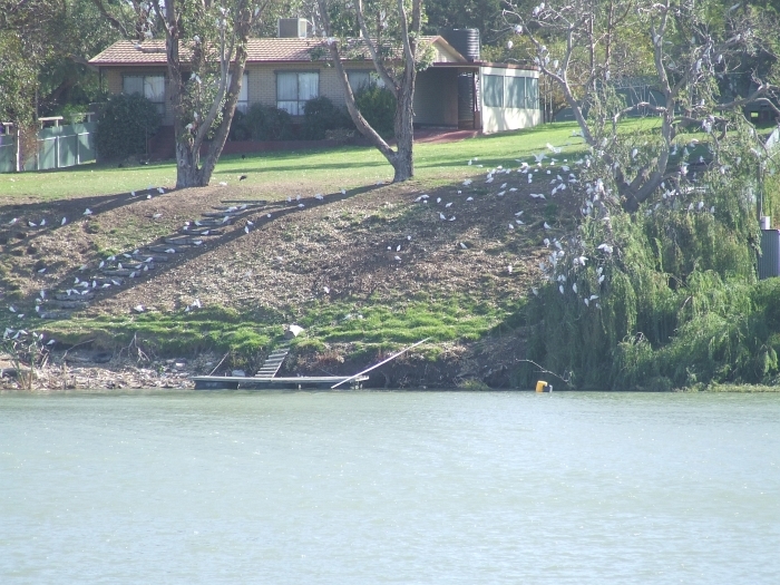
Anyone bored enough to count them all?


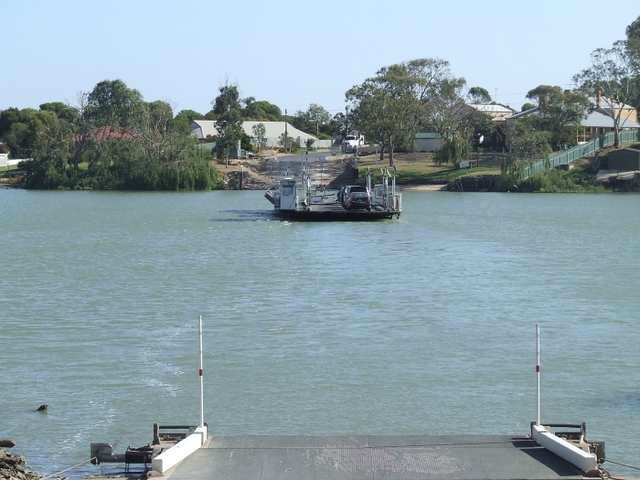
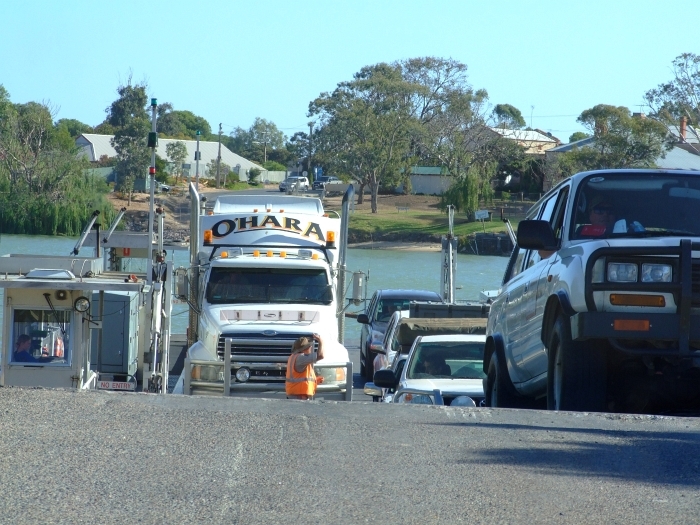
Yea! Here's comes the ferry!
finalleg046


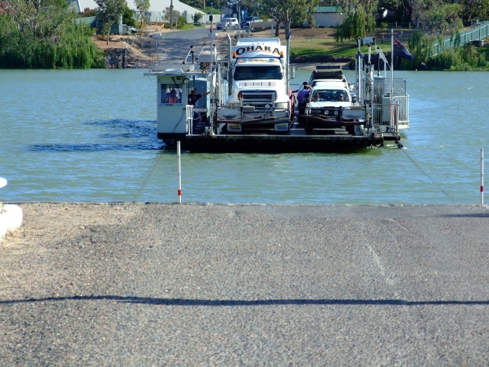
I hope that rig knows which side of the road he's supposed to drive on
finalleg052


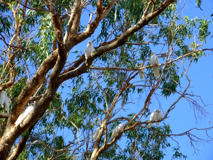
This is halfway across the river. Maybe about one fourth of the flock.
finalleg026
Cool lens flare, eh?

Driving up the far ramp
finalleg065


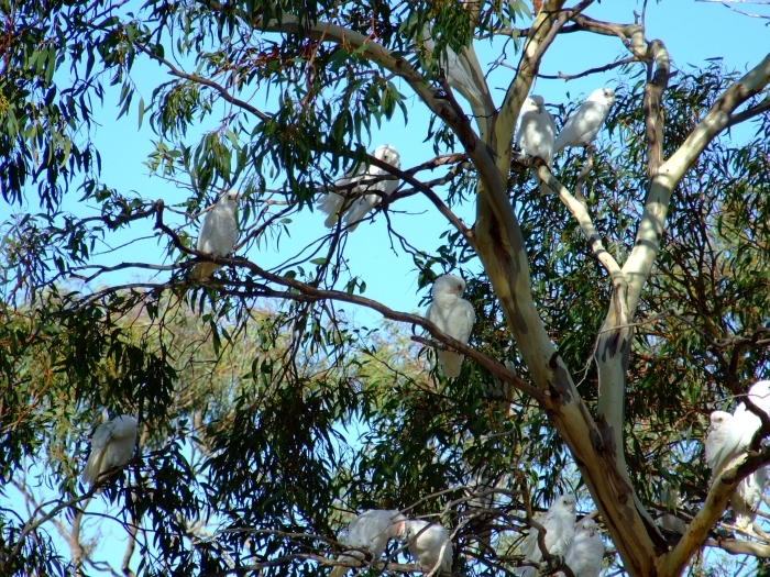
How's abouts we drive around to take a look at the flock? I'm sure my regulars can identify what kind of parrot it is.
finalleg072

Head count anyone?
finalleg074

Try this one
finalleg086


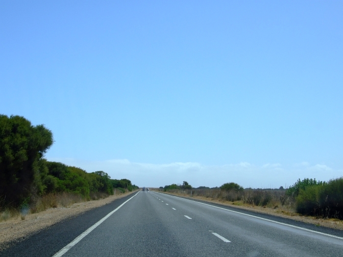
Notice that long boring stretch after Wellington on the way to Strath? Yeah, no shots from there either. In fact, we didn't even break out the camera till we got to that park in the middle of town.

You'll notice the huge flock of parrots isn't around... THAT'S CUZ THEY'RE ALL AT WELLINGTON!!!
finalleg089


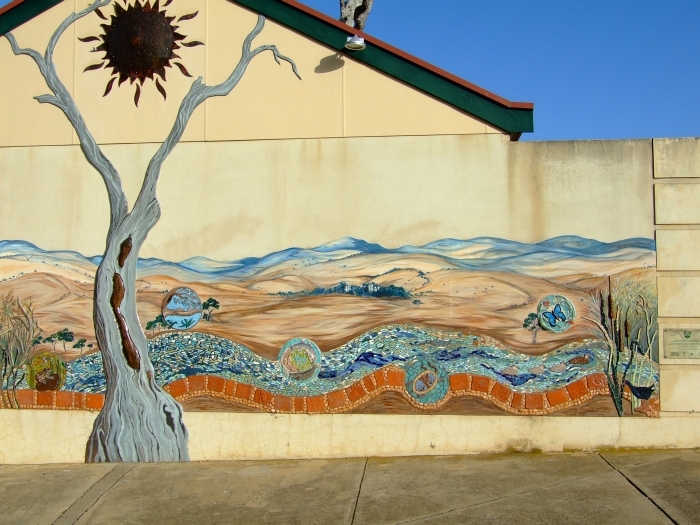
There's also "Public Facilites" there. That's a fancy way of saying "crapper". But oh what a crapper it is! How many country towns do you know that decorate the outside of a public crapper like this:
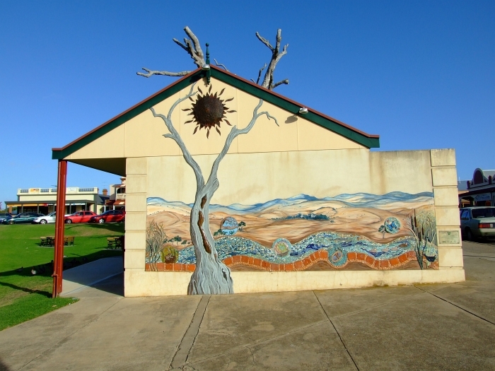
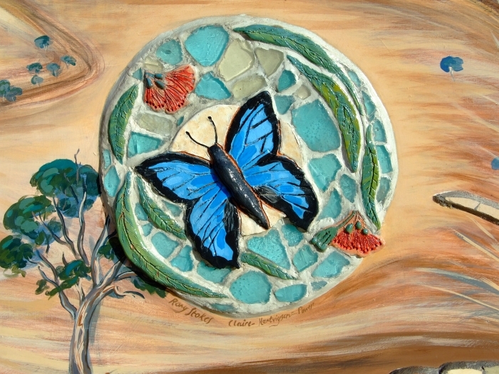
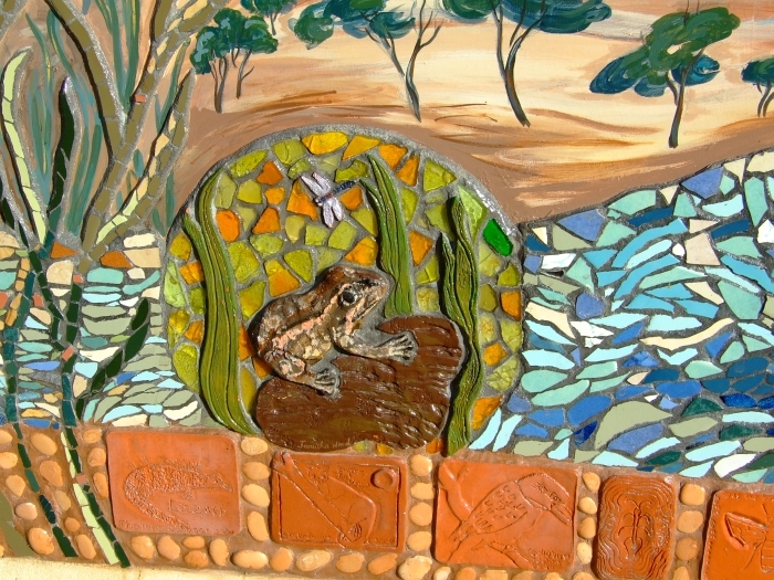
finalleg102

Let's zoom in a bit
finalleg101

I stupidly neglected to that a picture of the commemoration plaque, my bad.

But here's a few closeups of the artwork:
finalleg103

finalleg104

finalleg105


Coming up next is meself bein' back to me normal self! Which means pretty much anything I want to post along with a whole buncha cool parrots, birds, roos, koalas, lizards, and whatever other "exotic" critters I can find down here.

Thanks for reading about the trip and I hope I didn't bore too many of you over these last couple of months.

Sunday, May 10, 2009

The Journey Home: Salt Creek to Meningie

Holy crap batman! I am sooooo far behind in me blogging. Or dinchall notice? Hmmm, the sound of crickets in the night...

Ok, there's this post and only one more and then I'll be back to my normal self. You'll get to listen in on some fantastic conversations betwixt YT and WP, you'll see some pics of wild emus, wild kangaroos, wild koalas (one of the lazy bastards may even actually MOVE!!!), and you'll get to be introduced to the latest parrot to make it's presence known in our backyard.

How's that for a taser --ZAP! Oops, sorry, I meant teaser.

When you last traveled with WP and YT, you had just left Salt Creek (Southern Gateway to The Coorong) and were heading towards Meningie.

Meningie? Did you know that in the local native regional dialect, the word Meningie means mud? Well, now you do. Meningie is about the only rural, country town I've been to in Oz that I didn't care for. Why not? Gonna make you wait a bit as we've got some travlin' to do!

Here's the dry, sterile, no-fun-at-all, map of this arm of the trip:
salt creek to meningie


Shall we have a wee bit o' fun with the crayons? Yes, I heard all the pre-schoolers out in the vast interweb answer a resounding YOU BETCHA!
salt creek to meningie painted


Ahhhhhh, much betta. Now y'all can really see what's goin' on.

When you look at this pic, just imagine that instead of sand on the other side of the water you are seeing snow and ice as you look out across a fiord to the Harding Icefield. Personally, I'll take the warm sand...
muddy008


Betchyall dint no I gots meself a job paintin' straite lines
muddy012


Hey look! Mudflats overlooking the entrance to Turnagain Arm!
muddy020
I'm just kidding, of course. The water is slightly warmer than Cook Inlet --trust me, I've been in both.

Look! More mudflats!
muddy023


See that island out there? That's one of the protected pelican breeding islands.
muddy025
Of course, this means we are at Pelican Point. Sorry, no pics of the pelicans as neither of our cameras could make out a damned thing --with the notable exception of little white flecks which could just possibly be pelicans.

This is not just a tidal pool on the beach, this is the precursor to the Coorong Cave System which I'll be mapping 25 million years from now.
muddy039

muddy048
How there are any doubts (young Earthers?) as to how these caves formed is totally beyond me.

This bloke has a great house
muddy059

And a great driveway
muddy060


Before I get to babbling more about how you can take week-long camel tours through the Coorong, I'd thought I toss a few more pics up so I don't have to write for a bit.

muddy072

muddy074

muddy120


Hey, lookie! More pelicans!
muddy107
At least I'm assuming that's what those little white dots on the island are.

muddy141


I decided to be nice and water the bushes...
muddy082


See them thar snow-capped mountains?
muddy128
Well, that's really sand and you are looking at a picture of Younghusband Penninsula. Don't ask me where the name came from cus I donts ka-no.

Ok, camel tours through The Coorong! Wee-hooie! Don't it sound fun? I've ridden on camels down here, BTW. Much more comfy than a horse, that's for sure. Did you know there are more wild camels in Oz than there are in the Middle East? I'm sure it's true as WP read it somewhere when she first arrived here way back in the Dark Ages.

But why is that? It has to do with The Ghan. That's a railway heading north from Adelaide up to the top of the NT. Built by Afghans. They brought camels. Camels took a great liking to Oz --kinda like some Alaskan bloke, eh?

A good friend of ours went on one of the 5 day camel tours along The Coorong when she was visiting one time.

You can read about it (and see pics):

First part is here.

There's this next bit also.

Too here for the 3rd arm or leg, also.


And the last part is here also. Too.


Word salad is an art form and my padawan la'rner --the illustrious Guv of a certain US State-- is rapidly becoming and looking to being rather curiously adept at it.

I now want you to scroll back up and have a squizz at the maps. Notice there's a promitory that divides the north and south sections of The Coorong. Right opposite that little spit of land is 20 acres for sale... Ahhhhhhh...

But of course the nearest town would be Meningie and we certainly wouldn't want that!

Meningie is the first country town in Oz that I haven't liked. It seemed very sterile. There were also notices along the beach about all the do's and don't's. The multiple signs were all full on don'ts and no do's. Them nice folks from Naracoorte who went to the Lucindale show and took their horsies down to the beach at Kingston SE. Nope. Can't do that in Meningie.

I'd probably get flogged for spitting on the pier.

Here's the first thing you see when you arrive at Meningie from the south:
muddy092
Inviting, eh?

Nice ramp, eh?
muddy154


Oh look! There's a sign next to the pier.
muddy156


Let's find out what it says, shall we?
muddy155
Well, DUH!

There is supposed to be a place where you can rent a windsurfer and play around in Lake Albert. Couldn't find it. And the wind wasn't blowing either. Bummer.

There's one last post about the return journey. You get to see a huge flock of long-billed corella cockatoos, complete with video and SOUND. You also get a video of the ferry crossing!

Aren't you excited?

Perhaps pictures of a fresco mural on an outhouse in Strath would tittalate your senses or sensibilities?

Stay tuned.

Wednesday, April 29, 2009

The Journey Home. Kingston SE to Salt Creek

I am amazed. Not a single one of you have asked why a town is named Kingston SE instead of just Kingston. Well, fine then. I won't tell until someone asks --nicely.

I do thank y'alls good thoughts and such that headed my way. I can actually chew again! Oh, the feta cheese came out GREAT! Expect a post about cheesemaking over at Dingo Dave fairly soon (yes, I know I've been neglecting it).

Just in case any of you have forgotten where we are (directly above the centre of the Earth, BTW) on our return journey, let me refresh your mammaries --oops, memories.
kingston to salt creek smaller


Oh crikey struth, stone the crows, stiffen the lizards and pickle me granmothah! THAT map will just never do. Here, I'll grab some crayons and help ya out mates!
kingston to salt creek painted smaller


There! Now everyone knows what's going on. Right?

The first bit is really thrilling...
salt creek009


And DANGEROUS!
salt creek006
It's hard to tell from this pic, but with the looooong, flat, hot road with the sun beating down on it, the shimmering mirages were everywhere. Passing a slow moving vehicle was NOT fun. Fortunately most folk were doing 100 to 120 kph so it wasn't much of a problem. But I did have to pass a few times and even though a straight may be miles long, you just couldn't tell!

Saw a car almost get smashed by a semi... Wee-Hoo! Gotta love The Prince's Highway!

See the thin white stuff on the horizon? That's the top of the dunes of The Coorong. They are a couple of hundred feet high, and in 25 million years they could have the cave structure you've seen at Naracoorte!
salt creek027


We were going to take the loop road around...
salt creek033
but it was 20 kms of washboard. No thanks.

I think it's a shame that folks have to be reminded...
salt creek045


And here we arrive in beautiful, bustling downtown Salt Creek.
salt creek051


Here's a close up:
salt creek119


The place kinda reminded me of roadhouses up in Alaska. Well, once you got away from Los Anchorage that is.

And any place that has a chalkboard out front telling you which sections of the beach road are washed out, how many vehicles have rolled over there recently and where to get the best snappers, sharks (bronze whalers) can't be all bad. Plus they even encourage you to take ya rubbish and take idiots rubbish out!
salt creek121
This really reminded my of Alaska. Well, except for the beach part...

Salt Creek is known as the southern gateway to the Coorong. And they are right.
salt creek056
Who is that big, tall, handsome, pony-tailed bloke in the red shorts?

This is where we drove up:
salt creek112


See the dashed line on the left of the map going across what looks like water? In the summer you can drive across!
salt creek108
Provided you've got a 4 wheeler, of course.

There are hiking trails galore!
salt creek174
Personally, I think Nakun Kungun is Ngarrindjeri for "let's see how many dumb tourists we can get to walk through mosquisto infested swamp" or something similar to that.

Oi! Mates! We found some swans!

Something you may not know is that swans down here in Oz are black and they have a red bill. These are also some of the first ones I've seen that aren't in parks. Meaning they don't start swimming over to humans looking for handouts.
salt creek078

salt creek080

salt creek082

salt creek143

There are loads of wildflowers everwhere.
salt creek130

salt creek128

We even found an apple tree that had self-seeded:
salt creek137


And now back to the swans, jus' cus I like the reflections.
salt creek156

salt creek159

salt creek164


Sometimes they get hungry
salt creek166


But are we REALLY sure they are feeding? Let's just zoom in a bit and find out what is really going on...
farting black swan
Yep, that's what I thought.

At first I thought this bloke was a baby blue-tongue, but I'm now pretty sure he's a gecko.
salt creek172


If you want to learn more about the Coorong, then just

go here,

and here,

and also here too.

Did anyone get the above SP reference?

Hey look! There's oil in them thar hills!!!!

salt creek175


Instead of me grinding me poor ole fingers to da bone, how's abouts I jus' give ya the danged-gummed signs and youse all kin reed abouts it ya-selfs. Harumph.
salt creek179

salt creek181

salt creek182

salt creek180


They just don't make em like they used to:
salt creek183


Coming up next: Policeman's Point, a place I'd love to live at, and the first counrty town I didn't care for.