Sunday, March 29, 2009

There And Back Again; Chapter Four, Keith to Naracoorte

On The Doorstep

But of course since this is my blog and my travel-log, I get to put in whatever the heck I want. So y'all's'in's will just hafta put up with TWO (count them) pictures which do not pertain to the trip to Naracoorte.

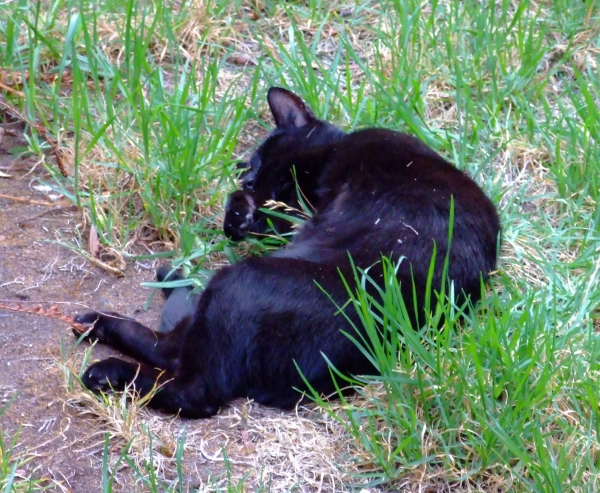
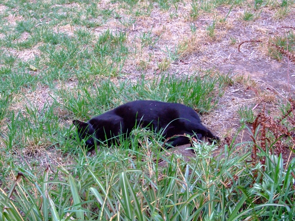
The first picture happens to be of the black furry object that I keep around. Every once in a while I toss it's useless hide outside. It ends up in some positions you'd expect from a furry, useless, sawdust-filled, no-brained, large-fanged, critter.

See for yourself:
flopped cat
Notice the bits of grass on his left flank? That's cus when I tossed his butt outside he landed on his left side, overturned as he skidded along the lawn, and then slid to a stop upon his right side.

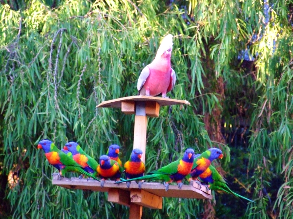
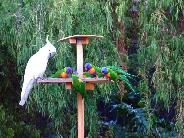
Cockatoos are much bigger than rainbow lorikeets:
more birds
See the bloke hanging on to the feeder upside down? I've seen the cockatoos do that too.

Let's join our intrepid explorers as they leave Keith on their way to Naracoorte!

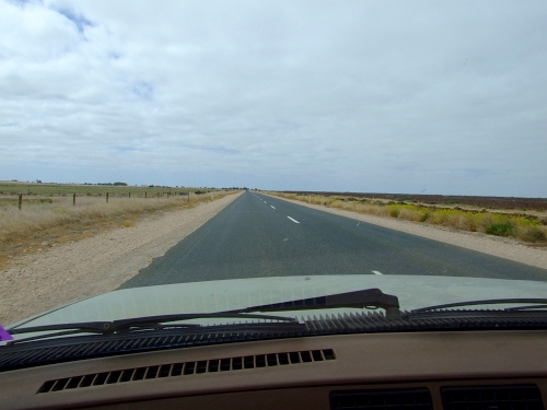
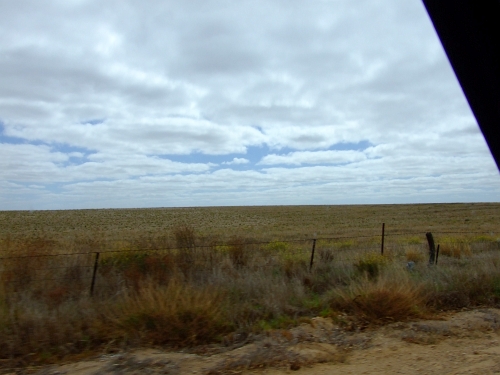
Here's the standard view the driver sees (and has seen, and will continue to see) for the next gazillion kilometres --that's around 3,141,592,653,589,793 miles, but who's counting?
flat
Does anyone want some pie?


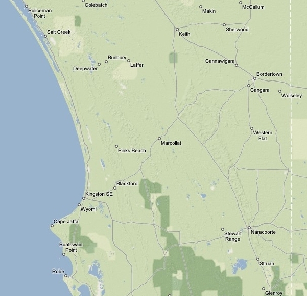
As usual (and as all awesomely great fantasy writers do) I've provided you with a map:
keith to naracoorte


As usual, I just really felt the need to scrawl all over it:
keith to naracoorte painted
Doesn't that help?

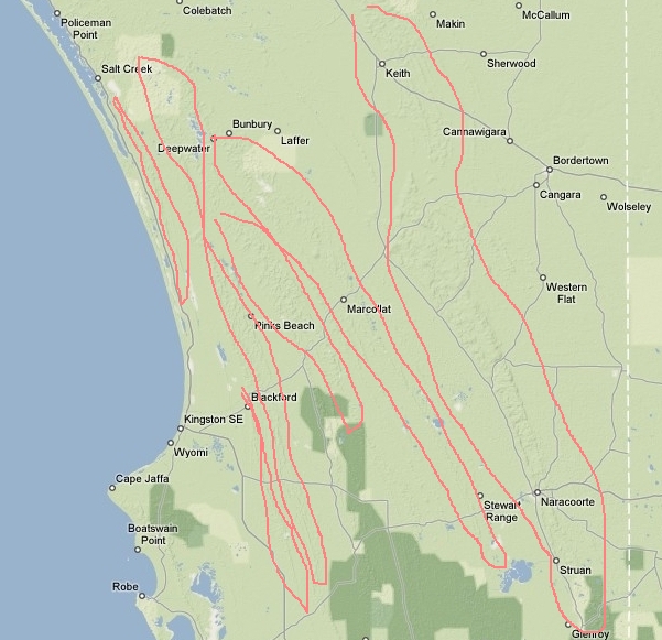
Notice that since this is kinda like a graphical topo map (terrain map?) there's some various ridges. See how the ridges are kinda, like, sorta lined up along some axis that, just a bit, looks like it might be parallel to the coast? Hmmmmmm, perhaps a few million years ago each one of the ridges could have been coastline? And the fact that they are not only limestone, but that they are so recent (meaning within 5 to 20 million years or so) that there are still some non-solutionised (I made that word up) shells in the limestone matrix????? Here, let me help you see the ridges:
keith to naracoorte old shores

Science class has now been dismissed, let's move on to Padthaway. Their main store has really good ice cream, BTW.

Don't blink!
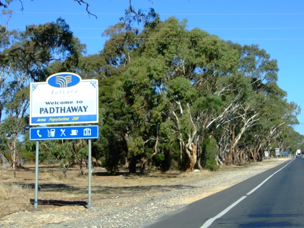
welcome to padthaway

Padthaway is a very large, thriving metropolis of 218 folk. Hmmmmm, too big for me. They have some an awesomely great sh*tload amount of ground water and also have some really cool modern artsy-fartsy type stuff.

Here's a picture of downtown Padthaway:
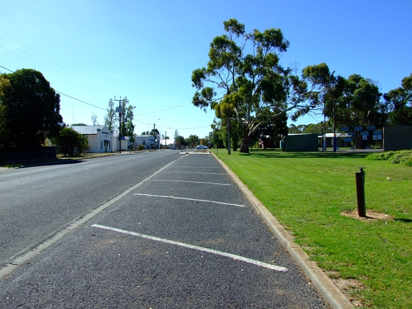
downtown padthaway


This is "where it all happens" at Padthaway. From right to left, there's a phone booth, then a liquor store, the post office, a trash bin, the store (which also includes a deli), a petrol (gasoline) pump, a trailer to live in, a picnic area, and finally a shed.
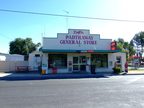
more downtown padthaway


I just love the bowser (fuel pump) being on the sidewalk!
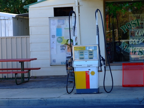
bowser


As we leave Padthaway, we see lots and lots and lots of vines:
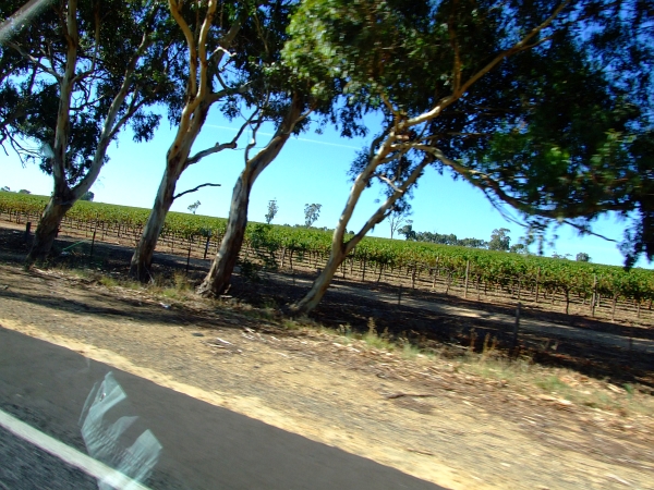
more vines


This next section may bore you a bit, so I'll just post a pic of the information board on the outskirts of Naracoorte upon our arrival:
we have arrived


Do you think that the motel in "downtown" Naracoorte would have our reservations on file? You know, this place that has a sign in the window stating "No Vacancy"?

You're right; they didn't!

Stay tuned campers :)

Thursday, March 26, 2009

There And Back Again. Chapter Three: Tailem to Keith

Before I get started with today's travel post about our Naracoorte trip, how's about a parrot picture? This is not one of my better parrot pics. Well at least as far as quality is concerned. The sun was just rising so only the top half of the galah is in the sun, whereas I had the camera set for the lorikeets that were in the shade below him.

However, it is a really cool pose by all them buggas. Does anyone want to take a crack at a caption? Just leave a comment with your caption, no worries.

gimme a title


See? Isn't it just begging for a cool caption?

Next up: The Cat!

This picture of His Royal Highness, Lord and Master of All He Surveys, Prince Bagheera should confirm to you that I really don't have a live cat. I just have a cat-shaped skin with fur on it filled with sawdust that I toss around the yard and take pictures of...
cat

Back to the trip to the caves!

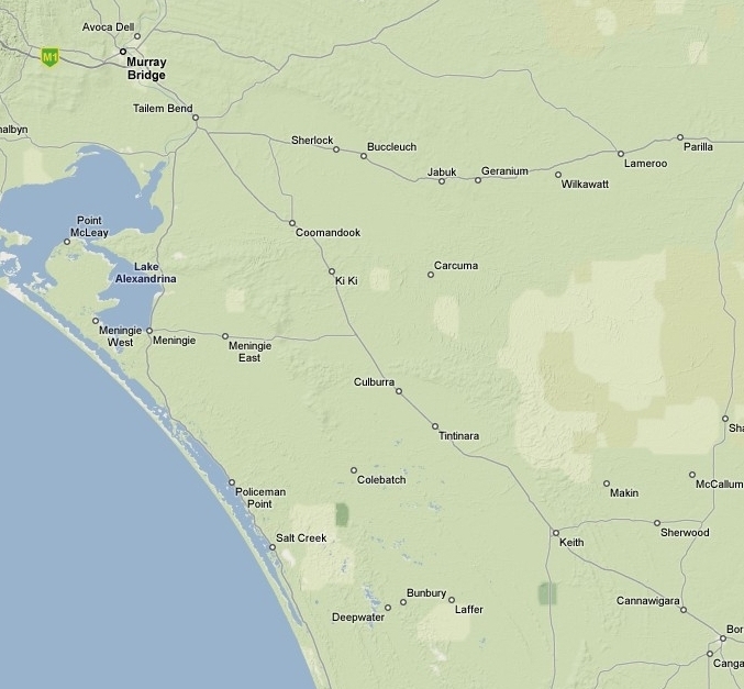
Here's the closeup map of this leg:
tailem to keith

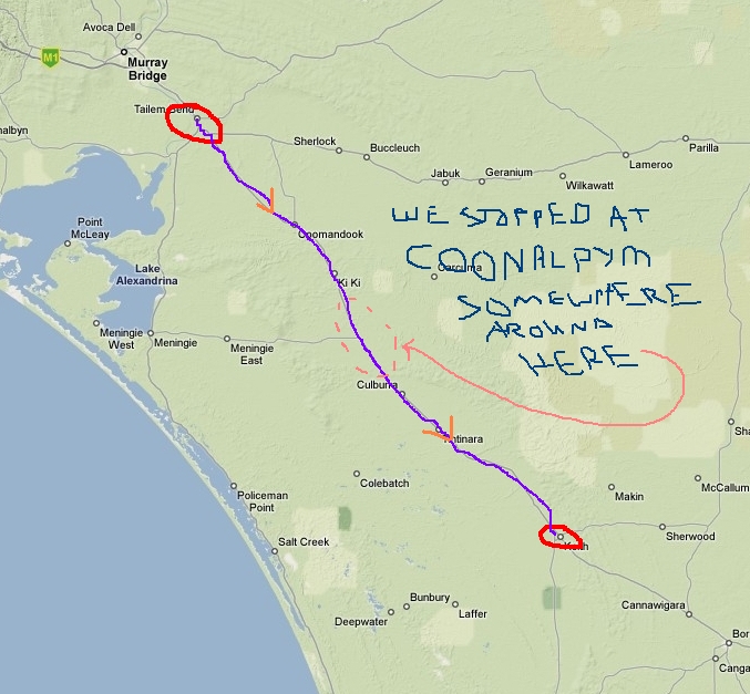
And of course I just had to get the crayons out:
tailem to keith painted


If you look at the map of the overall trip
overall painted
you'll notice this leg is longer than the first two legs combined. Why is that, you ask? Cus there's just not that much there.

And it's flat.

And the road's in good nick.

So is the car.

Speed limit is 110 kph (70 mph) which means you can safely do 75 mph before the cops even glance at you.
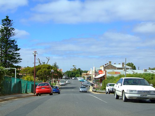
Did I mention that WP's 25 year old four door sedan got 30 mpg during this trip? And it was loaded with all our crap too.

We did have one bloke pass us doing at least 150 kph. We looked at each other and said, "Gee, he must be trawling for a police car." Sure enough, 15 minutes later we passed him as he was pulled over on the side of the road. A car with spinning blue and red lights on top was pulled over with him too. Yup, that's one way to meet a cop!

Remember, we are heading to Naracoorte so see things like this:
go away


But just what is at Coonalpyn? This is the place we took a quick leg-stretch at, BTW.

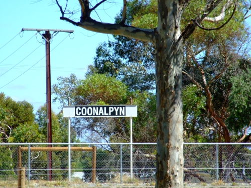
Well, for starters there is a sign:
coonalpyn

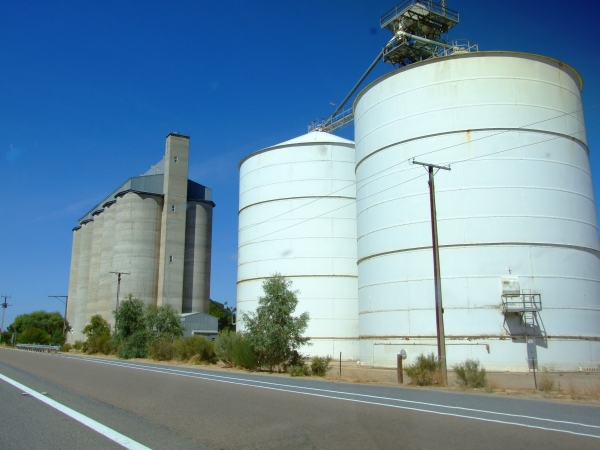
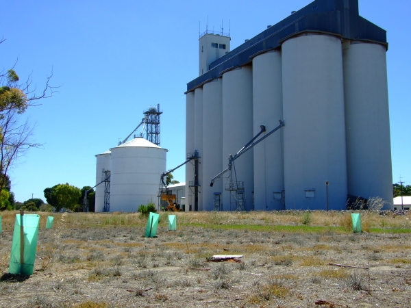
And there's lots of grain silos:
grain silo 01

There's a railroad that runs past the back of the silos for loading:
grain silo 02


Keep in mind Coonalpyn is not a big town. It's rather small. And yet these massive silos greeted us all the way down to Keith.

Hmmmmmmm, what could they be storing?

Turns out the region around Keith --of which Coonalpyn is part of-- is known as The Lucerne Capital of Australia. Lucerne is often referred to as The King of Fodders. In fact, this region is the largest lucerne growing region in the entire Southern Hemisphere!

What is Lucerne? You may know it as alfalfa.

All those hundreds of huge silos we drove past? Full of alfalfa seeds. To be exported all over the world. And the alfalfa hay makes awesomely great cattle feed.

The town of Keith really makes a big to-do about them above facts, and rightly so. The area used to be called The Ninety Mile Desert. Till someone found out what trace minerals are missing from the soil and just what kind of fertilizer is needed to grow train loads of alfalfa.

And then when the discovered the underground aquifer that can pump out over 100,000 litres per minute without damaging the water table... Well, you can sorta guess how quickly the agriculture took hold here 50 years ago.

Now, most of the area was native scrub. Which means that some really hard-working blokes recently back from WW II had to clear quite a bit of scrub. No, these weren't forests as it was very poor soil. This is one of the very few times that me (as a die-hard enviro type) agrees with what was done.

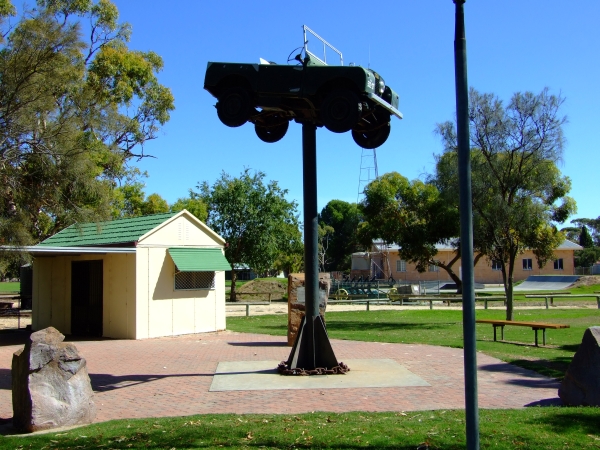
Anyways, the blokes worked very very very hard. So (obviously) there should be some kind of monument to their trials and tribulations as they toiled in the desert scrub.

Naturally it had to be "different".

Naturally...

H
e
r
e

i
t

i
s
.
.
.

pole rover


Yup, that's a land rover on a pole! And it's a real one too. Check out this closeup (just click on the pic to see the detail!)


Keith was a very nice town. And very GREEN! I haven't seen this much greenery since I've been down here (9 years now). Cool.

And lastly, a couple of shots to remind everyone of where we are headed on this journey:
just too cool
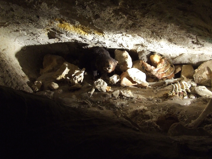
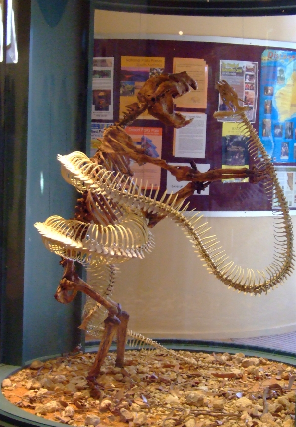
The bloke standing up is a marsupial lion which has been extinct for a long, long time. You can probably guess what the other critter is.

Does anyone remember the Far Side cartoon entitled "How Nature Says DO NOT TOUCH"? There's four panels, one of a porcupine with it's quills up, another with a rattlesnake rattling it's rattler, I forget the third, and the fourth was something like a bloke with a shotgun.

Does anyone remember that? Well, here's the ancient world's way of saying DO NOT TOUCH:


Ya just GOTTA click on this for the full-sized image!

Tuesday, March 24, 2009

There And Back Again: Chapter Two; Strath to Tailem Bend

or you might call this chapter "Flight To The Ford", but then again you might not. Although we did defintely hurry our way along to the Faerie Crossing, we certainly weren't fleeing anything. Unless you count putting as many kilometres betwixt ourselves (in the car, it's mobile) and the homestead as possible without blowing an engine...

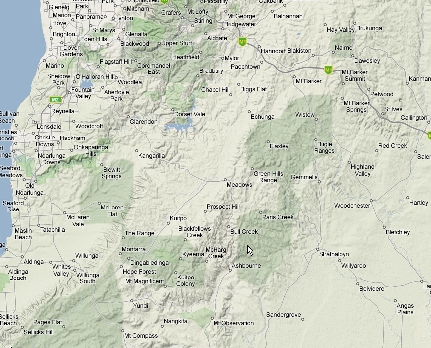
Here's a pic of the area we traversed. Just click on it so you can see it full size, no worries.


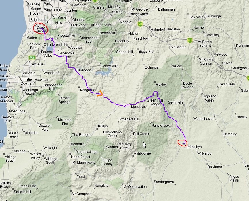
Oh, but wait! What's that you say? You have no idea what route we took??? Gosh, I am sorry and I do apologise profusely. Here, let me help:

Go ahead, click the map. No worries mate.


Here's a pic of the prize we are chasing after:
Click on it, I dare ya. I double dare ya! Harumph... wuss.

Bee-four we get to any of that cool stuff, we first must depart from the parking lot at the middle of Strath. However, I was distracted by these two buggas:
fornicating bugs at strath
Yes, I do tend to notice (and get distracted by) tiny, weird critters doing their tiny, weird critter thingy --at least that's what WP calls it, ahem.

The drive along the northern coast of the lake.

Doesn't this look thrilling?
langhorne creek
Why, look! More vines!

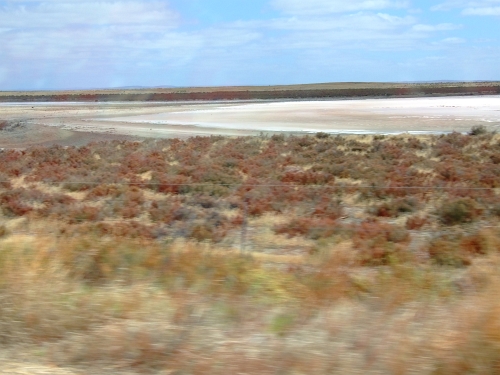
My gosh! A dry lake! Do you think we are in the middle of a DECADE-LONG drought?
another dry lake
Naaaaa, it's just "seasonal"...


I was bored, so shall you be. THHBBTTTT!
fun drive

falling asleep

Now, this next picture will totally blow you away! This is the end all, be all, picture that there ever was!

r
e
a
d
y
?


a
r
e

y
o
u

R
E
A
L
L
Y

ready?

thriliing view
Snore

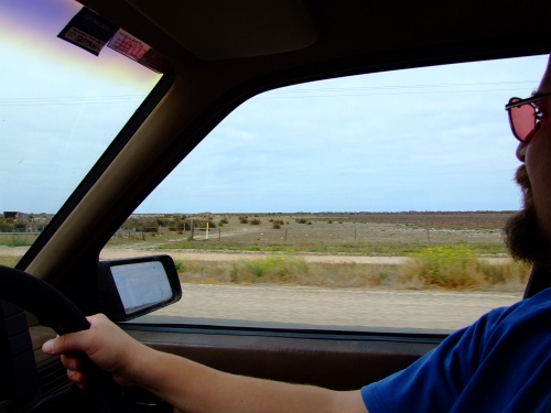
And here is absolute PROOF that I see the world through Rose-Tinted Glasses!
staying awake

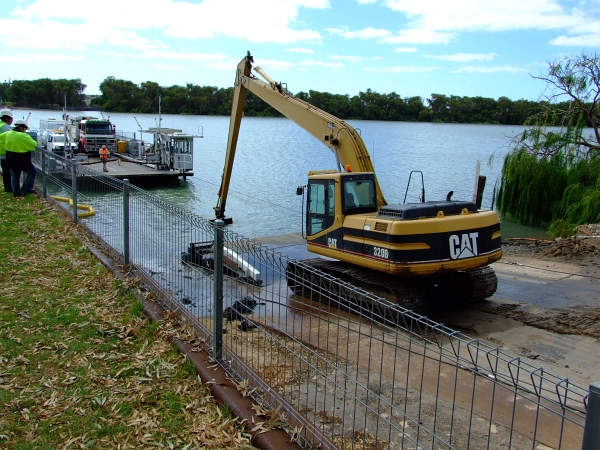
Oh No! The Faerie is shut down till noon today! Hmmmmmm, guess even fairies need some dregding out every once in a while.
waiting


This is where we want to go:
destination


Let's just zoom in a bit on that thar far shore...
closeup destination


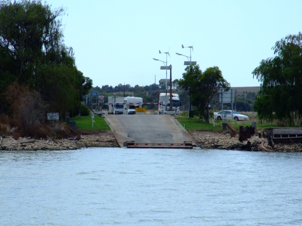
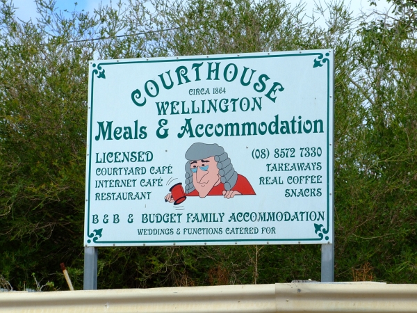
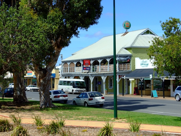
Of course we had to wait for the dredging to finish. That means I got to take some pics of the town centre of Wellington. Yes, the Courthouse has it all!
bustling wellington


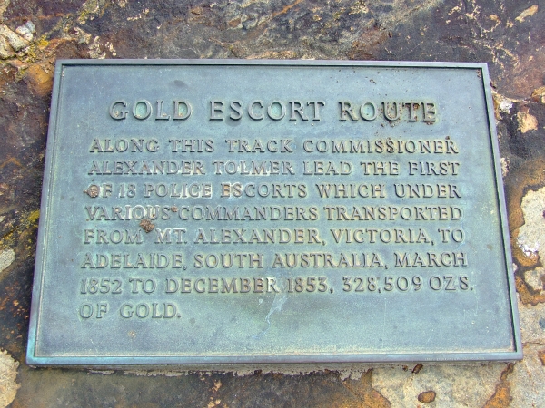
Yo, Ish! Can you find out how may pounds of gold that is?
lotta gold


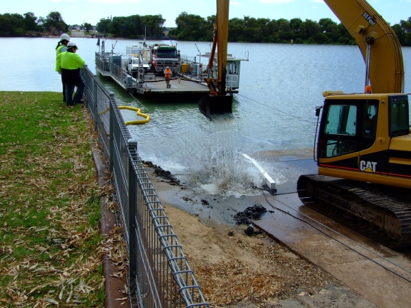
Hmmmmmm, nope. Still workin'. Of course one of those blokes on the left NEVER moved from his/her perch for hours. Damn. If I had to work, then that'd be the job.
rinse and repeat


I'm reminded of the Fort Knox construction days...
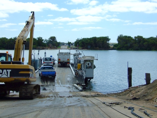
ferry crossing

Please notice the blokes hard at work. Sorta reminds me of home...


Fast-forward past another boring part... and we are in Tailem Band. Look! They even have a train:
tailem bend 01


And the obligatory pub:
tailem bend 02


What's a country town without a drive-thru boozateeria?
tailem bend 03


At those prices, I'm very glad we brought our on cooler full of homebrew!

Just a reminder as to WHY I'm doing this:


Just click on the pic to expand it all the way up to its full-sized, technicolor glory! Why? Cus these are just sooooooooo cool!

Monday, March 23, 2009

There And Back Again: Chapter One Sturt to Strathalbyn

Or alternate title: A Short Rest

Yeah, yeah, I know it's not very far from Sturt to Strath. But we were taking the whole day to get on down to Naracoorte (around 400 k from the route we took) so we figured Strath (remember, Aussies shorten all words. Besides it's much easier than saying or typing Strathalbyn all the time) would be a nice first break. It was only an hour to get there (I told you we weren't hurrying).

Here's the map:
sturt to strath


Of course, that doesn't really show the trip, so how's abouts some of my awesome crayon art?
sturt to strath painted


And I never even had to look at a map. Why? Cus I know pretty much every single road and climb in the southern part of The Adelaide Hills. I've worn out many bicycle tires going all through them. But since this isn't a bicycle blog I won't bore you with the details of that.

So why did we want to take a break in Strath? There's a really nice park in the middle of Strath. A creek runs through it and there are public facilities (honey bucket?) and picnic areas there.

Oh, and flock of about 5,000 little corellas. They are such genteel avians. Very quiet and they don't make any trouble at all.

I am (of course) LYING!

Noisy, destructive little bastards they are! But that doesn't bother me cus they was here first. However, there are some residents of Strath that probably don't like them.

Oh well. As the old fart (my dad) says, "Deal with it."

Did you know that you can find Strath without a map? Just roll down a window and follow the parrot sound! Here's a picture of downtown Strath:
downtown strath


This town is just a little too big and loud for me... I much prefer something around the size of Reedy Creek (you'll need to skip ahead a few chapters to find out about Reedy Creek).

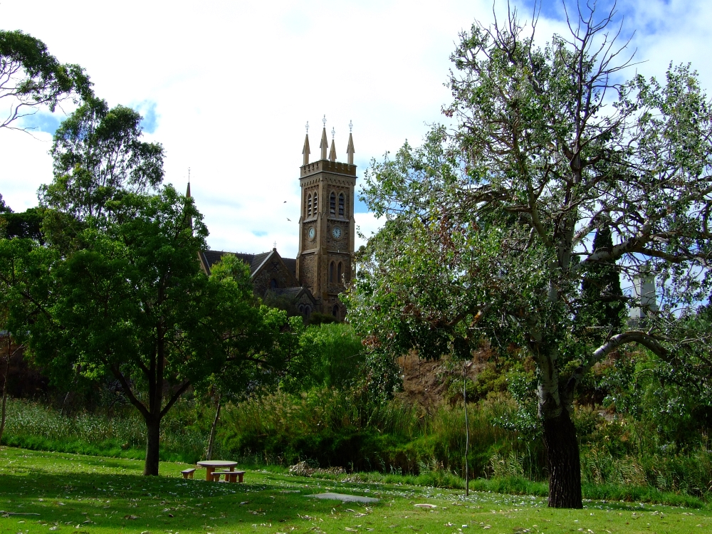
Can you tell the time?
tranquility


Ahhhhhh, so nice and peaceful, sigh...

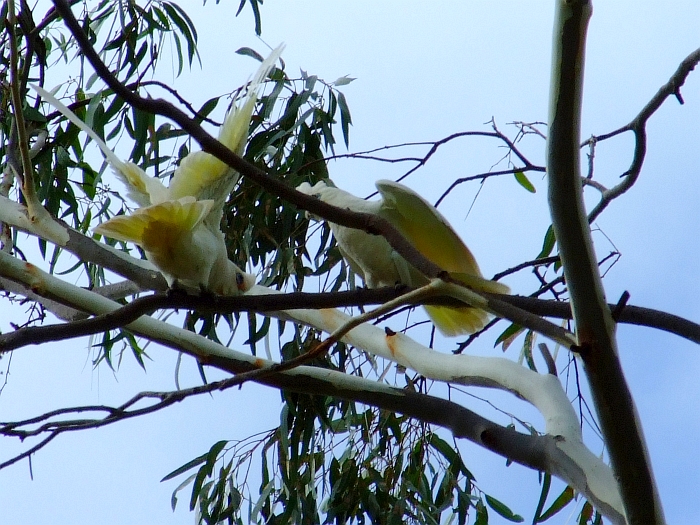
But upon closer inspection you'll see some loud white buggas that hang out there. Just click on the picture to get a really large pic of bird crap on the steeple!


Off Topic: I just thought I'd remind you where we are going:

Just give the picture a click to bring it up full size, no worries.

Back to Strath! And birds! Just click either pic below to bring it up fullsize.


I count 27 in the second shot. How many can you find?

Aaaaaaaannnnnnnnndddddddd what would life be like without the obligatory birdie closeup?
corella closeup


I have a special present for those of you who aren't familiar with the sounds of the little corella cockatoos: A Video! Yes, I switched the Fuji 6500 over to video mode to get the sounds of the buggas. Just so that I can share it all with you!

How would you like to wake up to the sound of this every morning?


Keep in mind, none of them were very close to us. These are LOUD birds.

Next chapter we get to take a fairy to cross the Mighty Murray!

Saturday, March 21, 2009

There And Back Again; Prologue

I must give absolute and total credit for the blog series title to Mr Tolkien. I certainly hope that he's not spinning too fast in his grave at my using his title, and I hope that his son is throwing a hissy fit right now (long story).

This is the story of YT (Yours Truly) and WP (Wifey-Poo; otherwise known as The Most Wonderful Woman In The Entire World --please don't be upset ladies) and our trip down to Naracoorte and back.

Prologue: A Long Expected Departure

To give you some background about the Naracoorte caves and myself, I thought you may be interested to know that I've been wanting to visit these suckers before I even arrived down in South Oz.

WP and I were hitch-ed back in '99 in Squarebanks. And for me birfday that year she gave me several "items of interest" about where I'd be heading: South Oz. One of these was The Book of The Road (as clearly distinct from say... The Book Of The Dead which I'm sure she had a hand in writing). Loads of stuff about everything you'd see. Sorta like the Antipodeans' answer to The Milepost.

One thing that caught my eye was a picture of the Naracoorte Caves. "Wow!" thought I. "What a great place to see!"

But why? Well, here's a pic from the Victoria Cave that I took:
Just give it a click to view it full size --although I've already shrunk it down to 1800 pix wide from it's original. BTW the chamber is about 8 to 10 feet high. This is BIG. You will see a great many more pics of the caves as you read the story, no worries.

Fast-forward TEN years and we still hadn't gotten on down to "The Limestone Coast". Hmmmm, time to remedy this situation, eh? Why is it called The Limestone Coast? Well, I'll be giving you various geologic, geomorphologic, paleontologic, agrilogic (ok, I made that last one up) tidbits as the trip progresses. Oh, and you'll also find out why there is a full-size complete LandRover up on a pole in Keith.

How's that for some interest-piquing?

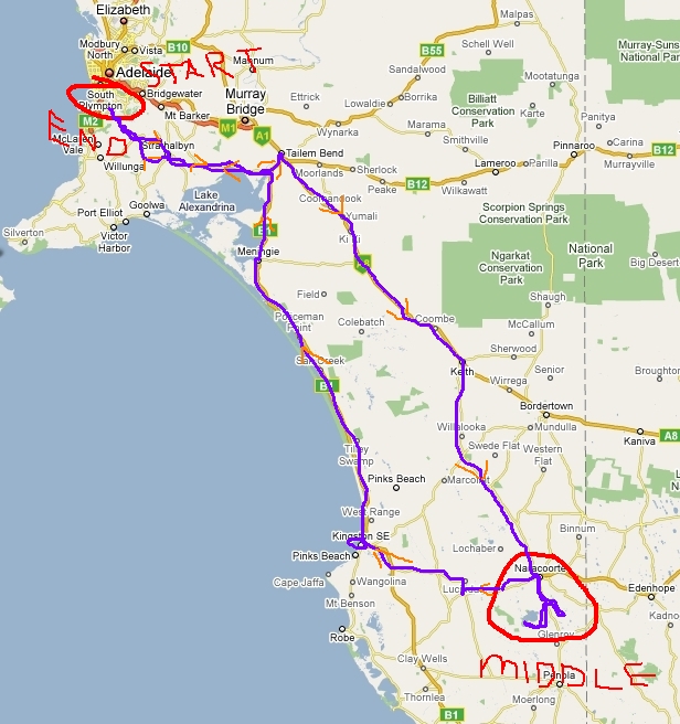
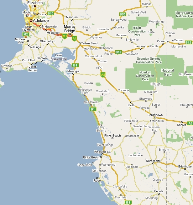
Here's the overall map of the trip. We started just south of Adelaide in Sturt (Sturt doesn't even show on this map, ahem) and went to Naracoorte (which does show on the map) and it's surrounding environs. We then went back by a different route.
overall


Of course that map doesn't show didly-squat. Here, I've fixed it for you:
overall painted

Doesn't it make sense now? Or does my kindergarten crayon colouring skillz show onto the map... just slightly maybe?

As you can see from the map, we took the north road down to Naracoorte, and then came back along the coast. See? Isn't it obvious?

Chapter One will be coming up next. Sturt to Strathalbyn!

Stay Tuned

Monday, March 16, 2009

Off To Naracoorte!

There's a big chance that you won't here (hear) from me till Saturday. Why? Well, WP and I are off to Naracoorte (just like the title of this post!)

Why are we going there?

Hmmmmmm, here's some reasons why:

Naracoorte Caves National Park

and here are some cool videos!

How it was found.

and here's some park info down in south Oz.

gunna go check out the old bones!

Here's a pdf of the park

We are also going to traipse through the Bool Lagoon. Well, we'll be staying on the boardwalks and such.

Expect some really cool photos of things. Between the 2 of us we are bringing enough to take over 1700 pics a day. Where we are staying is supposed to hve wireless broadband so we are also bringing a laptop. Fingers, toes, and eyes crossed so that you may get pics quickly.

The caves were formed between the Oligocene to Miocene periods. Now for those of you who aren't Flat-Earthers (oops, I think you call yourselves Young-Earthers now! --or perhaps members of a certain Wasilla church that lists a certain governor as a member?), this means the limestone bedding was laid down from 25 million years ago and 5 million years ago.

It's an interesting story about how the recent (300,000 years ago) fossils got down in the caves. Just follow the links above, no worries.

Personally, I'd just LOVE to find a fossil of a long-haired hippy freak wearing white, flowing robes, and riding a giant kangaroo! It would certainly explain how Noah got down here to rescue all the Australian critters before the flood!